

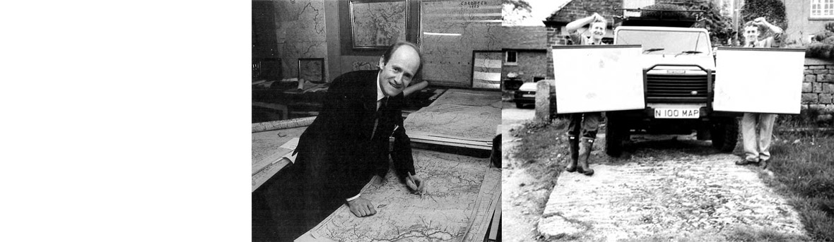


40 years ago my father, then a Geography Teacher discovered an old map showing his parents’ farm in the Yorkshire Pennines, together with all the surrounding fields and dwellings just as they were in the previous century. He restored, photographed and framed it. So many local people asked him to do the same for them he began searching for other originals.
Now after a journey which has taken us 30 years and thousands of miles all over Britain, even to Eire, we have finally collected and have access to the full set of the original maps from this first survey, some 10,000 sheets in total. One of which actually shows your surroundings in amazing detail. It clearly marks individual trees, tracks, farms, cottages, field hedges even wells and springs.
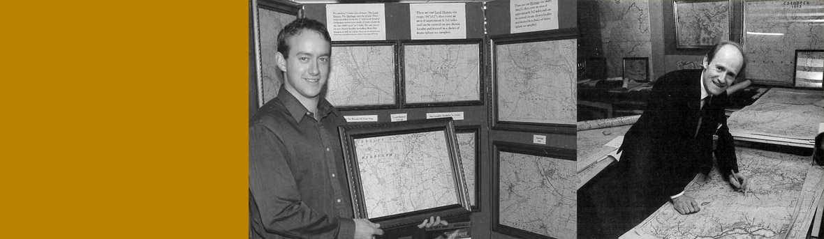
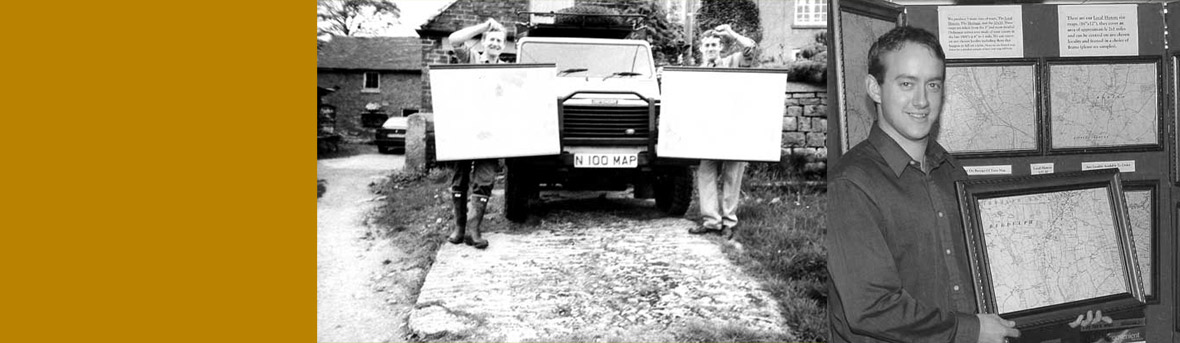
This map is one of 300 sections from the first and most detailed large-scale 6” survey ever made of your county. Each involved thousands of hours, first of surveying and then hand drawing and copper plate engraving. Surprisingly, even though so old, the maps are accurate and useful to this day. Milestones are marked, bench-marks and contours give exact heights in feet above sea level. The names are given for countless man-made and natural features. There are ruins, quarries, lines of water courses, old railway tracks and every dwelling, garden and outbuilding.
This epic survey has never before been re-published. The response has been phenomenal – four out of five rural or village residents who see them request our service: a replica, photographed to order from the original, from £79 in a lovely period frame. Centred on your own dwelling or chosen locality as a map to treasure.
Sincerely, David King. On behalf of Edward King F.R.G.S (Fellow Royal Geographical Society).
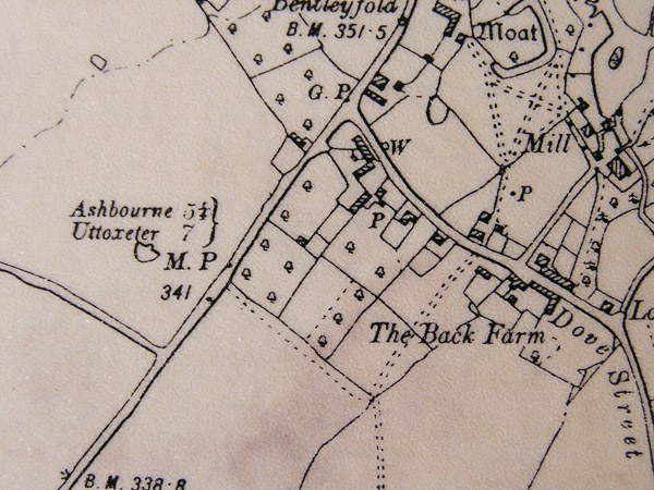
“Milestones are marked”

“Bench-marks and contours give exact heights in feet above sea level”
